Mount Tenzan
menuMenu
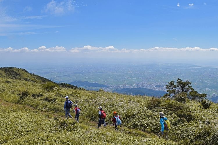
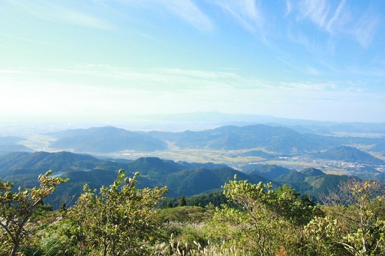
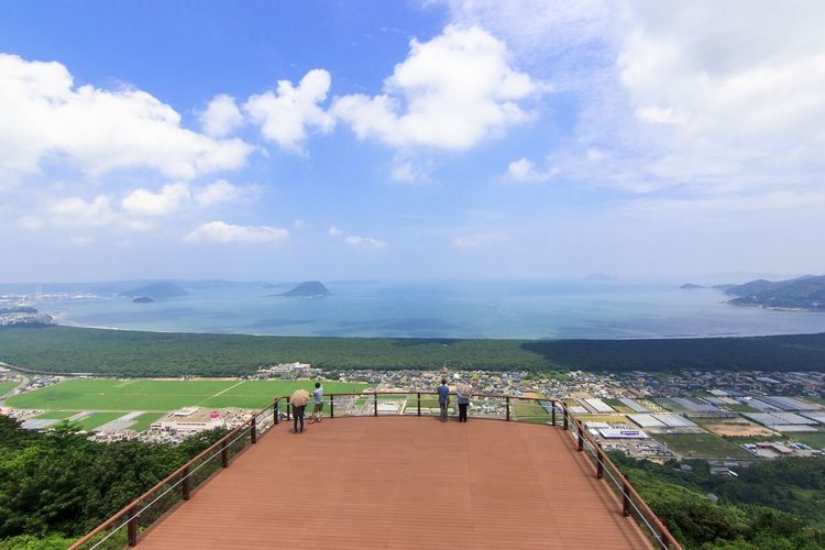
One of Saga Prefecture's premier viewpoints, offering stunning views of the Saga Plain, Ariake Sea, and Unzen-dake volcano.


Highlights
- Enjoy breathtaking views of the Saga Plain, Ariake Sea, and Unzen-dake volcano.
- Expansive summit with exceptional panoramic views.
- Trails catering to various skill levels, from easy to challenging.
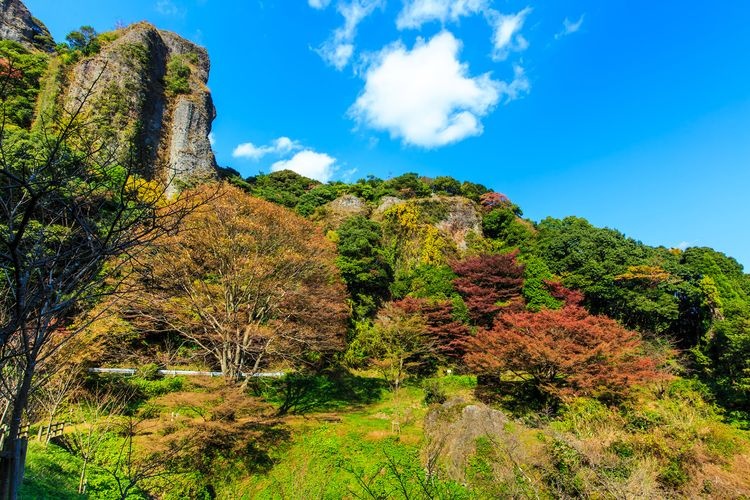
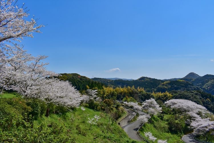
- Experience the changing seasons: mountain cherry blossoms and azaleas in spring, lush greenery in summer, and vibrant autumn foliage.
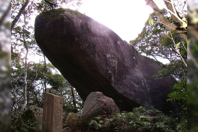
- Features a first-order triangulation point, a rare sight in Saga Prefecture.
Basic Information
- Address
- Tenkawa, Tenzan, Ikimachi, Karatsu City, Saga Prefecture Search for tourist attractions in Saga
- Access
- By car: Approximately 30 minutes from the Takuchi IC or Saga Yamato IC on the Nagasaki Expressway. By train: Take a bus from JR Saga Station Bus Center and get off at Tenzanmiya-mae. From there, it's about a 30-minute walk. Show route
- INFO
- While the mountain trails are well-maintained, some sections can be quite steep, so please exercise caution when hiking. The weather can also change rapidly, so be sure to check the forecast beforehand and prepare for all types of weather, including cold conditions.
Overview
Recommended nearby attractions
Kyoseki Park
Nestled in Saga Prefecture's breathtaking natural landscape, Kyoseki Park captivates with its mysterious megaliths and stunning views, offering opportunities for hiking and fishing.
Chiyubou Park
Breathtaking views overlooking Mount Kurokami! A park where you can fully enjoy the magnificent nature.
Kagamiyama Observation Deck
Breathtaking views of Karatsu Bay and Niji-no-Matsubara! Famous as a place associated with Matsuura Sayohime.
Takaozan Park
Takaozan Park offers breathtaking views of Imari Bay!
In spring, cherry blossoms and azaleas bloom in profusion,
allowing you to enjoy the magnificent scenery and flowers.
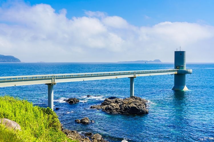
Kaze no Mieru Oka Koen (Wind-Viewing Hill Park)
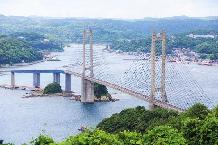
A park where you can enjoy the magnificent scenery of the Genkai Sea along with white windmills. Offers panoramic views of the Yoboko Bridge and the townscape of Yoboko.
Kankyō Geijutsu no Mori (Environmental Art Forest)

A fantastic photo spot! The forest's breathtaking scenery reflected in a lacquered table creates a magical atmosphere.
Irohajima Viewpoint
A breathtaking spot offering panoramic views of 48 islands scattered across Imari Bay. Experience the grandeur of this majestic archipelago and feel the awe of nature!
Takesaki Castle Ruins Observation Tower Park (Takesaki Castle Site)
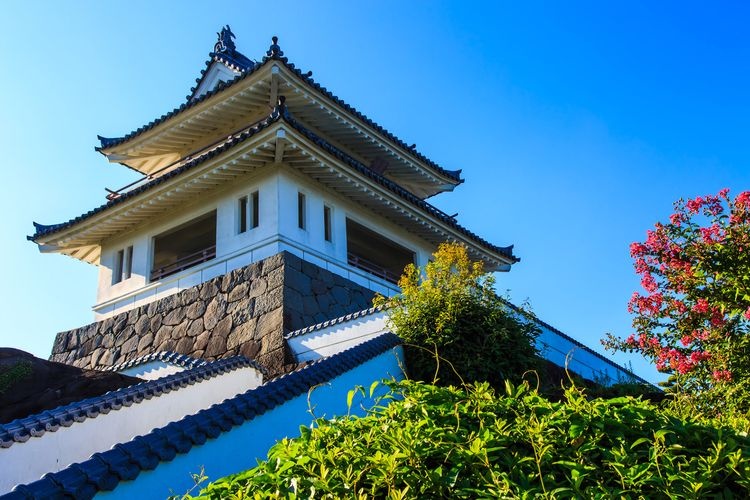
Enjoy a 360° panoramic view of the Ariake Sea, Unzen Mount, and other breathtaking scenery from this observation tower.
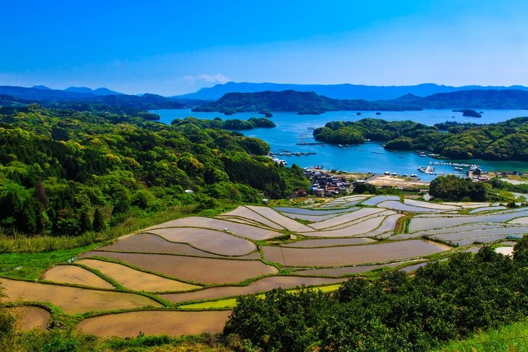
Warabino Rice Terraces
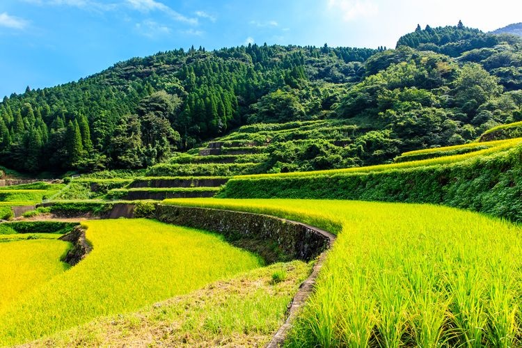
A breathtaking view of rice terraces, selected as one of Japan's Top 100 Rice Terraces, sprawling across the northern slope of Mount Hachiman.
Hatono Misaki (Cape Hatono)
A cape with a magnificent view overlooking the vast Genkai Sea! The setting sun is especially beautiful, captivating the hearts of all who visit.
Nearby Hotels
Tenzan Taku Onsen Taqua

Oncri

Tsukasa Ryokan

Kakureisen

Fuji Villa Sanganosho

Oyado Yumechidori

Travel Essentials
Tourist Spots by Theme
Tourist Spots by Region