Misaki Park
menuMenu
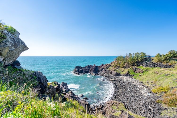
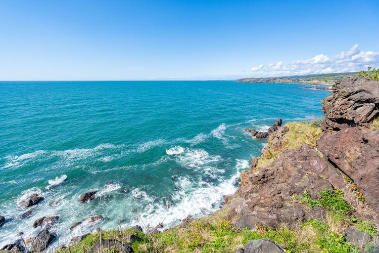
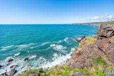
Spectacular views of the oddly shaped rocks sculpted by the rough waves of the Sea of Japan! A romantic spot to watch the sunset and Tobi Island together.


Highlights
- Spectacular views of the oddly shaped rocks sculpted by the rough waves of the Sea of Japan
- A romantic spot to watch the sunset and Tobi Island together
- The "Uyamuyu no Seki," known as a difficult pass along the old road with the legend of the long-armed, long-legged being
- Historical spots visited by Matsuo Basho and Ino Tadataka
- Leisure facilities such as walking paths and a campground where you can fully enjoy nature and history
Basic Information
- Address
- Misaki Park, Kosagawamisaki, Nikaho City, Akita Prefecture (within Misaki Park) Search for tourist attractions in Akita
- Access
- Car: About 15 minutes from Nikaho IC on the Nihonkai Tohoku Expressway. Train: About 30 minutes by bus from JR Ugo-Honjo Station. Show route
- Op.Hours
- 8:00 AM to 5:00 PM
- Cld.Days
- None
- Fee
- Free
- INFO
- Restrooms and parking available. Reservations required for campsites.
Overview
Recommended nearby attractions
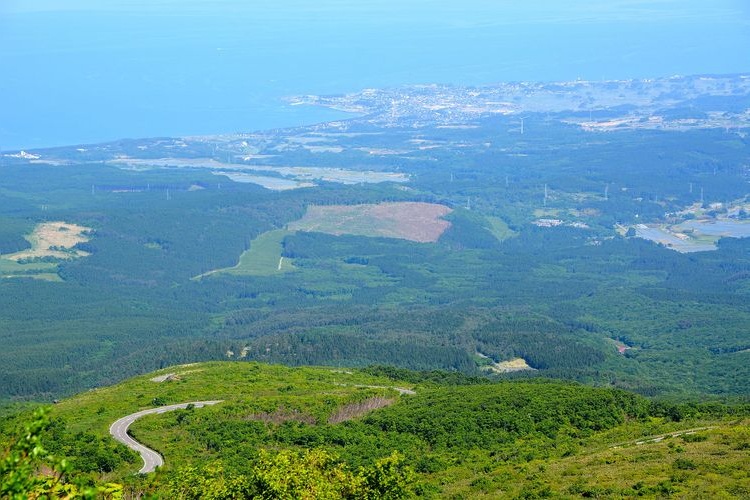
Nikaho Highland Observatory Hibari-sou
An observation deck offering a breathtaking panoramic view overlooking Mount Chokai. On a clear day, you can see as far as the Sea of Japan and the Oga Peninsula.
Chokai Blue Line
A refreshing drive offering stunning views of Mount Chokai and the Japan Sea! This majestic mountain road boasts spectacular scenery throughout the year.
Hiwayama Park
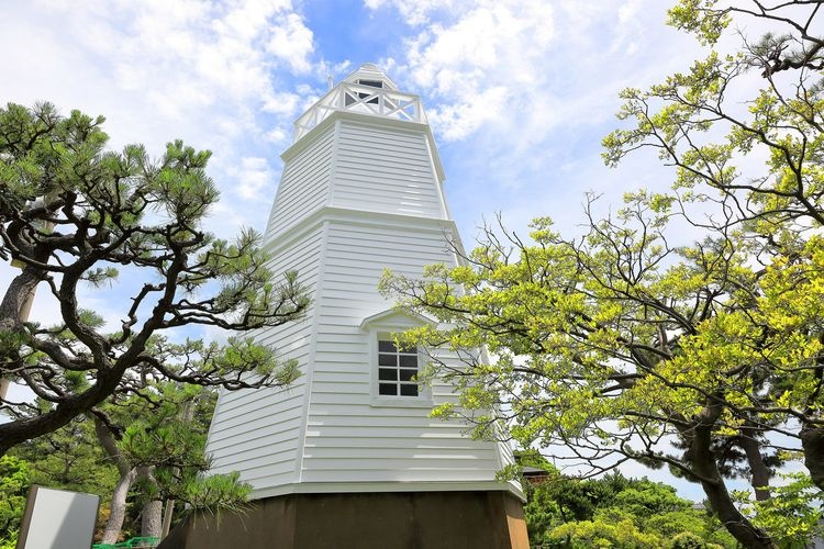
A beautiful park showcasing the stunning contrast between the setting sun over the Sea of Japan and the historic wooden lighthouse.
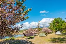
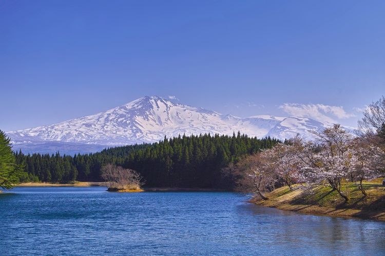
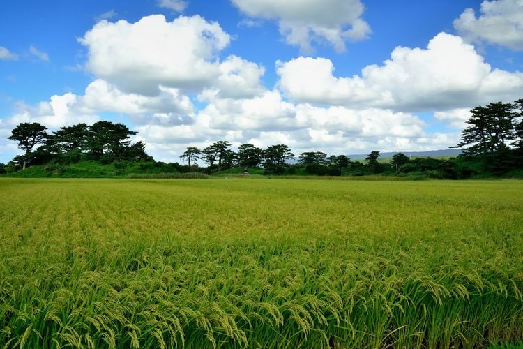
Nakayama River Park Cherry Blossoms
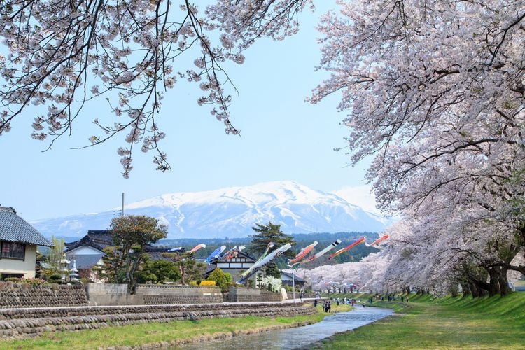
Experience the quintessential Japanese landscape where the scenery of the Shonai region and the full bloom of cherry blossoms intertwine.
Fantasy Forest (Doyu Cedar Trees)
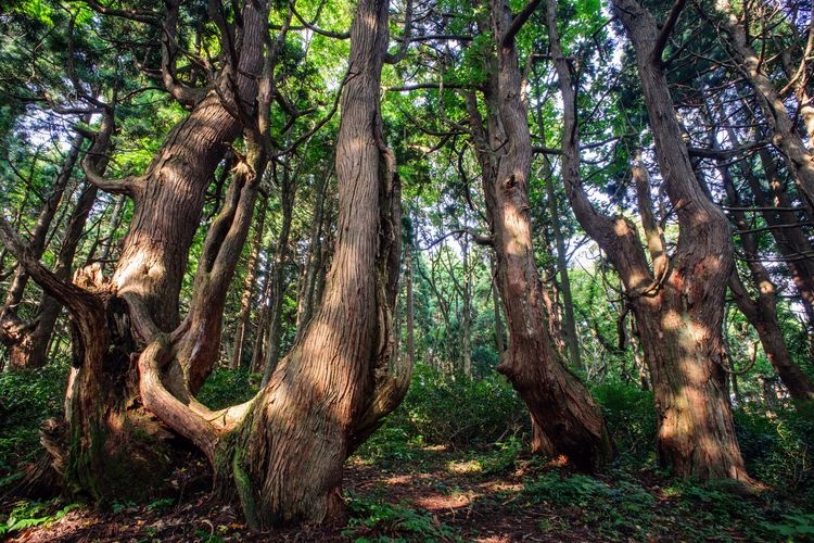
A fantastical forest where giant cedar trees over 1000 years old stand in silent majesty. A healing space that lets you forget your daily worries.
Tsuruoka Park (Taihokan)
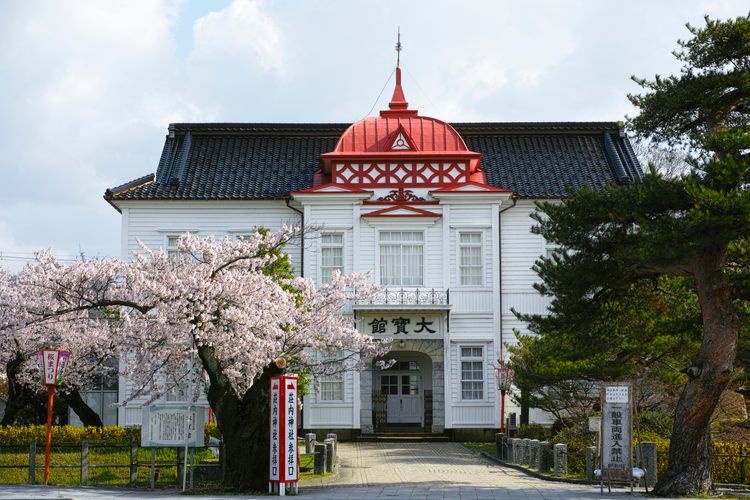
Tsuruoka Park, built on the former site of Tsurugaoka Castle, is famed for its stunning cherry blossoms.
Kusanoki-dai Marsh
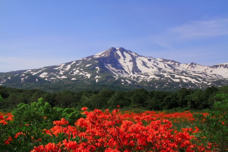
A beautiful marsh where seasonal flowers such as Japanese cotton grass (watasuge) and Japanese fire lilies (renge-tsutsuji) bloom in profusion, with the majestic Mount Chokai as a backdrop.
Shishiganabi Marsh
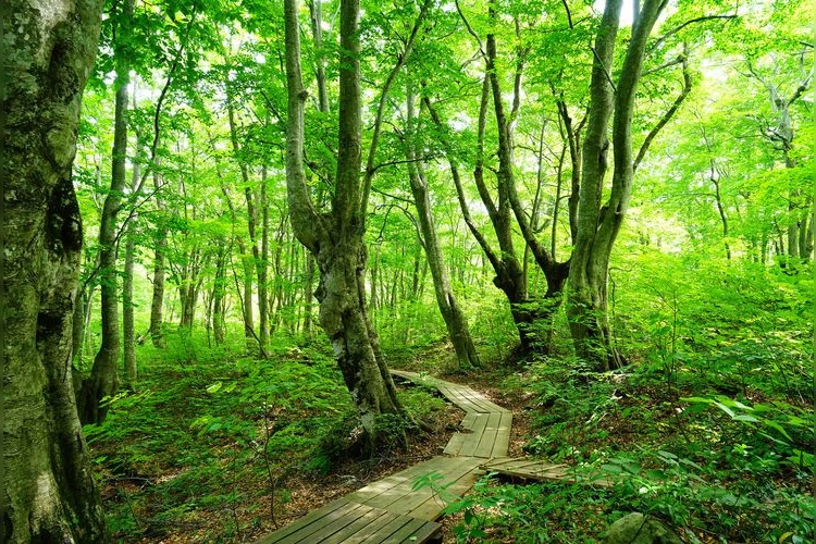
A vast marsh sprawling across the northwestern foothills of Mount Chokai. Designated a national natural monument, it offers a rich natural experience.
Naso no Shirataki (White Waterfall of Naso)
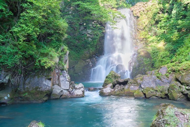
A 26-meter-high, straight waterfall on the Naso River, flowing down from Mount Chokai. Located within the grounds of Kinpō Shrine, it's a power spot surrounded by abundant nature.
Joshigata
Experience the majestic scenery of islands scattered across what was once land, now submerged.
Nearby Hotels
Travel Essentials
Tourist Spots by Theme
Tourist Spots by Region